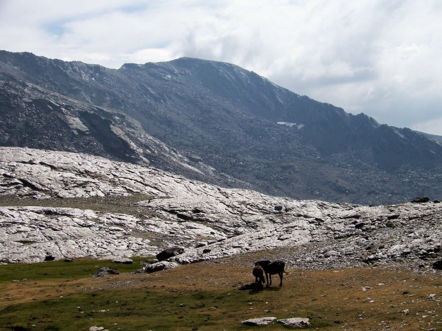
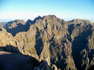
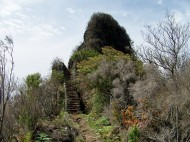
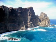
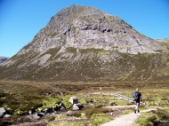
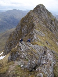
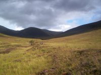
TOZAL del Cartujo is a slaty-black mountain that rises from the northern flanks of the Sierra Nevada in a mass of shattered stone. When viewed from the ancient red walls of the Alhambra palace in nearby Granada, it melts into the benign blueness of the high sierras. But when approached from the ski resort of Pradollano, which in summer lies dormant at its feet, its north ridge swoops down in an intimidating giant’s staircase of slanting slabs.
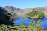
Like most mountains that exhibit a daunting, shadowy side, the 10,341ft (3,152 metres) Tozal del Cartujo has a friendlier, sunnier aspect, where turquoise lagunas glitter in the rarefied air and ibex rattle nonchalantly among the stones. The sunnier side is a pleasant place to be.
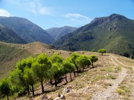
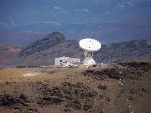 So in the grey light of a high-altitude dawn I plod breathlessly along a road above Pradollano. This dirt track up the Sierra Nevada is the highest road in Europe. It was bulldozed during the Franco era, allowing motorists to drive almost to the summits of Veleta and Mulhacen and continue down the extensive southern flanks of mainland Spain’s highest mountain to the Moorish village of Capiliera. The track was closed to vehicles during the 1990s after too many day-trippers got stuck in snow drifts or drove over precipices. But the ski companies still use the road to service their chairlifts, and the university people use it to access their observatories and radio telescope.
Bob Geldof once recorded a song called The Roads of Germany, which opens with the lyric: I’m driving on the road that Hitler built, and continues:
I’m driving on the road that Stalin built next
There’s more holes in Joe’s than Adolf’s
But what would you expect
I wonder what the Germans did
To fall from history’s nest
And I’m driving on the road that Stalin built next
I march on my way attempting to whistle The Roads of Germany and breathe the thin air at the same time, wondering why dictators have this compulsion to build roads everywhere. With the passing of time and a little help from conservationists, the higher reaches of Franco’s road are being reclaimed by the mountains. That’s not to say it hasn’t left an indelible scar on the topography.
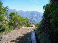
After climbing above the Borreguiles ski station, I enter a silent and splendid landscape below Tajos de la Virgen – the jagged spinal ridge of the Sierra Nevada. My path crosses great banks of scree and ascends at an easy angle, at times zigzagging leisurely to reach the crest. And on that crest, the first thing I see is the ruined Refugio Elorrieta. According to the website Sierra Nevada Mountain News, Elorrieta . . .
“ . . . was the most ambitious of a network of shelters that were designed in the 30s in the Lanjaron river valley, and the only one that was built according to plan. It had central heating, installation of water and power for lighting. Constructively it consists of two parts, a domed outside and dug into rock, with a set of galleries dug by pick and covered with a vault of bricks and tiles.”
Elorrieta was built between 1931 and 1933. Part of the external concrete section is still maintained, after a fashion, and serves as a basic shelter, but the subterranean chambers and tunnels are dark and dank.
 I explore a tunnel cut through the rock, which is paved with black and white tiles. It takes me right through the ridge to a rock window that looks down on the Capiliera valley. Through the early afternoon haze I see the familiar bulk of Lujar.
Lujar. Isn’t it strange how certain mountains lodge themselves in a corner of your heart? I mean, what are mountains? Besides being cold, inanimate, occasionally hostile and dangerous objects – some of them possessing a romantic beauty and others scaring the daylights out of you – they are, after all, just lumps of folded rock thrown up from the earth’s crust by the pressures of colliding tectonic plates, spewed volcanically from the earth’s bowels, or left high and dry by the erosion of all that once stood around them.
I clamber through this window-shaped hole into the daylight to stand on a ledge above a steep drop, and behold Lujar and feel a warm swell of affection. Lujar has become my landmark in Sierra Nevadian Spain. Here is a mountain that through sheer modesty and familiarity has earned my respect. Lujar, like some mountains but certainly not all, is a friend. It has settled comfortably among the Black Combes, the Ben Luis, the Blencathras, the Bow Fells and the Ciste Dhubhs.

Looking along the Tajo de los Machos ridge from the refugio. The peak on the right is Cerro del Caballo
My mountain for today, Tozal del Cartujo, is the highest point on a ridge that snakes west from the Refugio Elorrieta. The ridge continues over several rocky tops to terminate at the prominent summit of Cerro del Caballo (3005m or 9,858ft), which I had intended climbing from Lanjaron before quietly dumping the idea because of the many miles involved. Tozal del Cartujo lies just over a kilometre from the refugio across some pathless and rocky ground. It would have been nice to have continued along the ridge to Caballo and down to Lanjaron and the bus back to Orgiva, but a trip like that involves a bit of forethought.
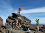
After some pleasant scrambling up warm rocks – while being observed by curious ibex – I reach the summit of Tozal del Cartujo, which comprises two large boulders. I clamber up one and then the other, just for good measure, chew some chorizo, bread and cheese, then wander back across the rocky wilderness to the ruined refugio.
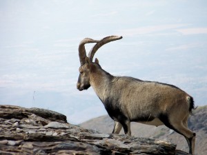 On the tracks down to the ski station I walk with ibex, walk with wild horses, walk with sheep, walk with a rather bad-tempered sheepdog, and walk with Land Rovers. And soon I am again plodding along the road that Franco built, boots beating out the rhythm as I whistle Sir Bob’s song.
After my recent painful ascent of Veleta by the wrong route, today on Tozal del Cartujo I have learned the secret of successful walking in the thin air of the Sierra Nevada. Walk like the Spaniards: start high, take it easy, chew chorizo, eat cheese, suck a few olives – and whistle only on the way down.

