I LIKE Beinn Dearg. It???s a mountain with character way out in the backcountry. And I like the sound it makes when people pronounce its name correctly. It???s like the call of a bird or the noise of a rock glancing off another rock. Dye-rek . . .
There???s a Beinn Dearg in the far north, up near Ullapool, which I climbed about ten years ago. On the descent I met a woman and we talked about mountains. She asked me if I???d just been up Bin Dye-rek. She might even have said Bin Derreck, or Bin Derreg. But whatever it was it had a haunting and earthy sound. I can???t remember what she looked like, the colour of her hair, her age or her shape ??? just the sound of her voice uttering those two words as the wind snatched them away.
Today I???m off to the southern Beinn Dearg, the one tucked in the wild country to the east of Blair Atholl. The challenge is getting to it rather than climbing it, then getting back again before the sun goes down.
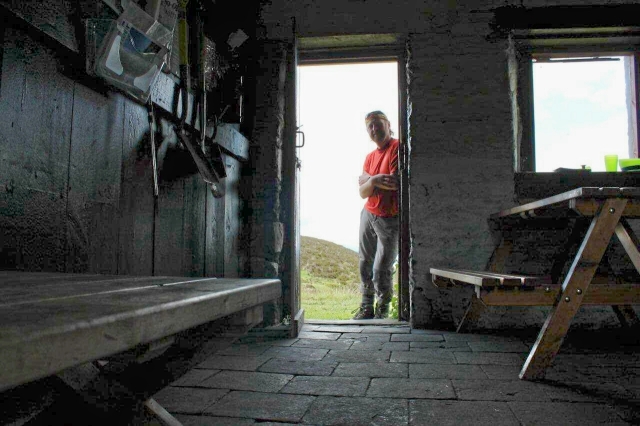
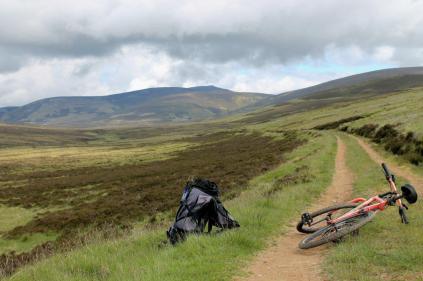
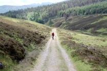
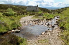
There???s a good six miles of stony track ??? most of which is uphill ??? to reach Sheicheachan bothy at the foot of the mountain, then a long pull to the summit at 1,008 metres (3,307ft), followed by the whole thing in reverse. It???s a job for the mountain bike.
The track to Beinn Dearg is the old drove route from Blair Atholl to Kingussie over the Minigaig pass. Before General Wade pioneered his military road over Drumochter in the 1720s, the Minigaig route was a major artery. Signs of its former importance can still be glimpsed in the moss-encrusted milestones that nestle in its heather verges.
I dismount to photograph four of these (Nos 2, 3, 4 and 5), because that???s the sort of thing blokes with beards are expected to do. The first milestone (No 1), the nearest to civilisation, is missing. It’s probably found a new and fulfilling career as a garden feature, stuck between someone???s solar tier fountain and a meerkat family.
I expect milestone No 6 and all subsequent milestones lie beyond the bothy. One day I???ll walk all the way to Kingussie just to find out because it???s niggling me and I need to know. I???m a bit like that bloke who cut a hole in his fridge door to see if the light goes off.
It???s a slow and sweaty slog to the bothy. And it???s a slow and sweaty slog from the bothy to Beinn Dearg???s airy ridge. I???m on the summit for 1pm, exactly four hours after starting out ??? and that includes half an hour for lunch. Not bad going, I tell myself. (This is a half-hearted attempt to boost my confidence ??? because on the track to the bothy I was overtaken by an old white-bearded lad on a mountain bike who then ditched his bike in the heather, ran to the top of Beinn Dearg in his cycling gear, and doubled past me again on his run down, waving cheerily).
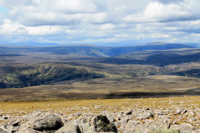
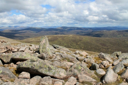
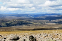
Rewards come to the stout-hearted and the meek. My rewards come on the summit (pictured below) in the form of clear views and time to savour them.
Let???s ponder, for a moment, the reasons why people climb mountains. It???s not the first time I have touched on this subject and it will not be the last, because the reasons are many and they are varied. But here???s one I???ll toss in the pot. It???s the thrill and the satisfaction of gradually becoming familiar with places that at first seemed wild and daunting ??? sometimes intimidating.
It???s the dawning of recognition ??? the slow process where strange inanimate shapes with strange outlandish names become familiar; making an almost imperceptible transformation from dark strangers into friends.
I gaze north and east from the summit of Beinn Dearg and the horizon is full of green lumps, brown lumps, and big black lumps shaded by low cloud. And in the middle distance I recognise Carn an Fhidhleir and its neighbour, An Sgarsoch, with the high Cairngorms forming a dark and brooding backdrop. To the right stand Carn Bhac and the steeply rising slopes of Beinn Iutharn Mh??r, then Carn an Righ and Glas Tulaichean. Further to the south, the splendid peaks of Beinn ?? Ghlo reach towards the sun.
And I think: this is like being a teenager again, venturing into the Cumbrian mountains. This takes me back to the mid-1970s. A few decent fell-walks under my belt and I could recognise the shapes of Great Gable, Bow Fell, Skiddaw, the Old Man, the Langdale Pikes and Crinkle Crags at the drop of a woolly hat.
And here I am in a biting wind on the summit of Beinn Dearg with that same fresh feeling of recognition, of a new dawning in a vast mountain country that is slowly becoming familiar. I???m piecing together the lumps in a landscape far, far more vast and complex than the Lake District ??? and one that stretches to every horizon. I could sit here all day and, through a process of elimination and crude triangulation, work out the names of most of the prominent summits and the glens that wind around their feet.
In this somewhat philosophical and indulgent frame of mind I plod down Beinn Dearg???s lonely slopes and spend another half hour drinking tea outside the bothy before mounting the bike and rattling uncomfortably down six miles of rough track in the afternoon sun. Back at the car I fire up the Marc Bolan Acoustic Warrior CD my son bought me several birthdays ago.
Eh? Look, I did say I felt like a teenager again.
FURTHER READING
FOR a history of the Blair Atholl to Kingussie drove road over Minigaig, see James Carron???s excellent Walking the Minigaig Road
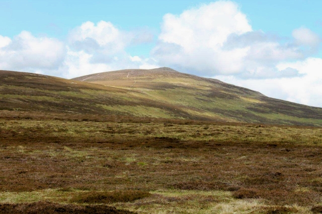
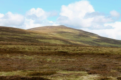
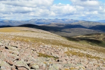
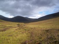
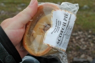
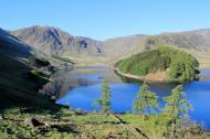
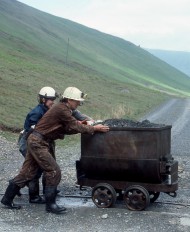
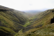
For high-res pictures, extra views and the complete set of milestones, click on any of the images below:













Marc Bolan, who would have thought it! Looks like a fantastic day out and it always amazes me where the mind goes on days like that. In my case it’s back to youth camps in Glencoe. Central Belters like my mates and I wandering around one of the last wildernesses in the country poorly equipped, (if any at all), and only a vague understanding of navigation. Brilliant!! Marc Bolan? What can I say, only the best die young!……………J
Hi John. Yes, I look back to walking with my mates in the Lakeland fells during the mid-70s and the gear we had ??? or didn???t have. We walked in work boots with steel toe caps (a very recent innovation) and rucksacks that had been handed down from parents and uncles. It didn???t stop us reaching the tops of mountains. And we always had great times.
Get it on. Alen
Another grand day out Alen. I did this hill back in Mid February 2003 (I am pleased I was always a compulsive ticker and wrote both the dates and who I did the hills with) and like you used the bike. We had to give up the bikes about a mile or so from the bothy because of a snowdrift along the track. Unfortunately there was no view for us instead we got a whiteout on top. Interestingly we were accompanied by a native and she pronounced the hill as “Ben Jerrak” if I remember correctly which does sound similar to the pronunciation you have mentioned – and yes when you come to mention it, it does have a real earthy sound.
Hi David. I wouldn???t like to have been up there in a white out. Once you climb to the top of the shoulder above the bothy things get pretty flat and featureless, so I???m glad I had a fine and sunny day. Incidentally, regarding pronunciation, we had a discussion at work the other night on the correct way to spell and pronounce ???howay??? ??? as in: howay the lads. Is it with an ???O???, as in howay, or an ???A???, as in haway? No one could agree, and the unsatisfactory conclusion was that on Tyneside its howay and Wearside it???s haway. So perhaps the same thing applies to Beinn Dearg. It depends where you???re from.
Cheers, Alen
Reading your posts is very bad for my character as I end up full of wicked envy.
Funny that, Mrs Potter. Because when you do your seaside walks I feel much the same way. I grew up on the coast and miss the sea a great deal. I think we were meant to live our lives by the times of the tides. That would suit me, anyway.
Cheers, Alen
I have to say that I do enjoy big empty country such as that around Beinn Dearg. Many years since I was last there on a backpack across the Minigaig. Is the bothy in good nick these days?
Hi James. I’ve been thinking about doing the walk over Minigaig to Kingussie ??? but as with all these things the trouble is not so much doing them as squeezing them in between work and more important stuff. It looks a great walk. The bothy is in fine condition. It’s a comfortable little building in a superb location.
Cheers, Alen
It is some great photos, Alen. They inspire to a hike in the mountains.
Hej Hanna. Glad you like the pictures. I???ve bought a new camera in an attempt to improve the picture quality. To be honest, I???m not sure it???s made any difference. Some people have the skill to capture the mood of a place in their photographs and I have the greatest respect for them.
Cheers, Alen
“It???s the dawning of recognition ??? the slow process where strange inanimate shapes with strange outlandish names become familiar; making an almost imperceptible transformation from dark strangers into friends.”
So true! When I first started walking across Scotland I was amazed that walkers I bumped into on the TGO Challenge carried a map around in their skull of every inch of the country and could rattle off all the hills on the horizon. Many years later I now have that skull map as well. The hills and glens have become old pals.
It’s a wonderful country that seemingly goes on forever.
Hi Al. That???s exactly how it happened for me, though I would imagine your skull map is far more complete than mine. I climbed my first half-dozen Munros in the early 1980s but didn???t really get into full swing until 2000 after walking the West Highland Way. But I recall in those early days bumping into people ??? many of them English ??? who talked as if they had been born in the glens and lived their entire lives walking from mountain to mountain. I always felt at a bit of a disadvantage. Now, though, it???s coming together.
I think I???ve just set myself up for getting lost the next time I venture north.
Cheers, Alen
Another great post Alen, Thanks for sharing this one.
Hi there, Paul. Thanks for that. Good to hear from you.
Cheers, Alen